Spatial Explorer
Explore information via an interactive map interface
Explore information via an interactive map interface
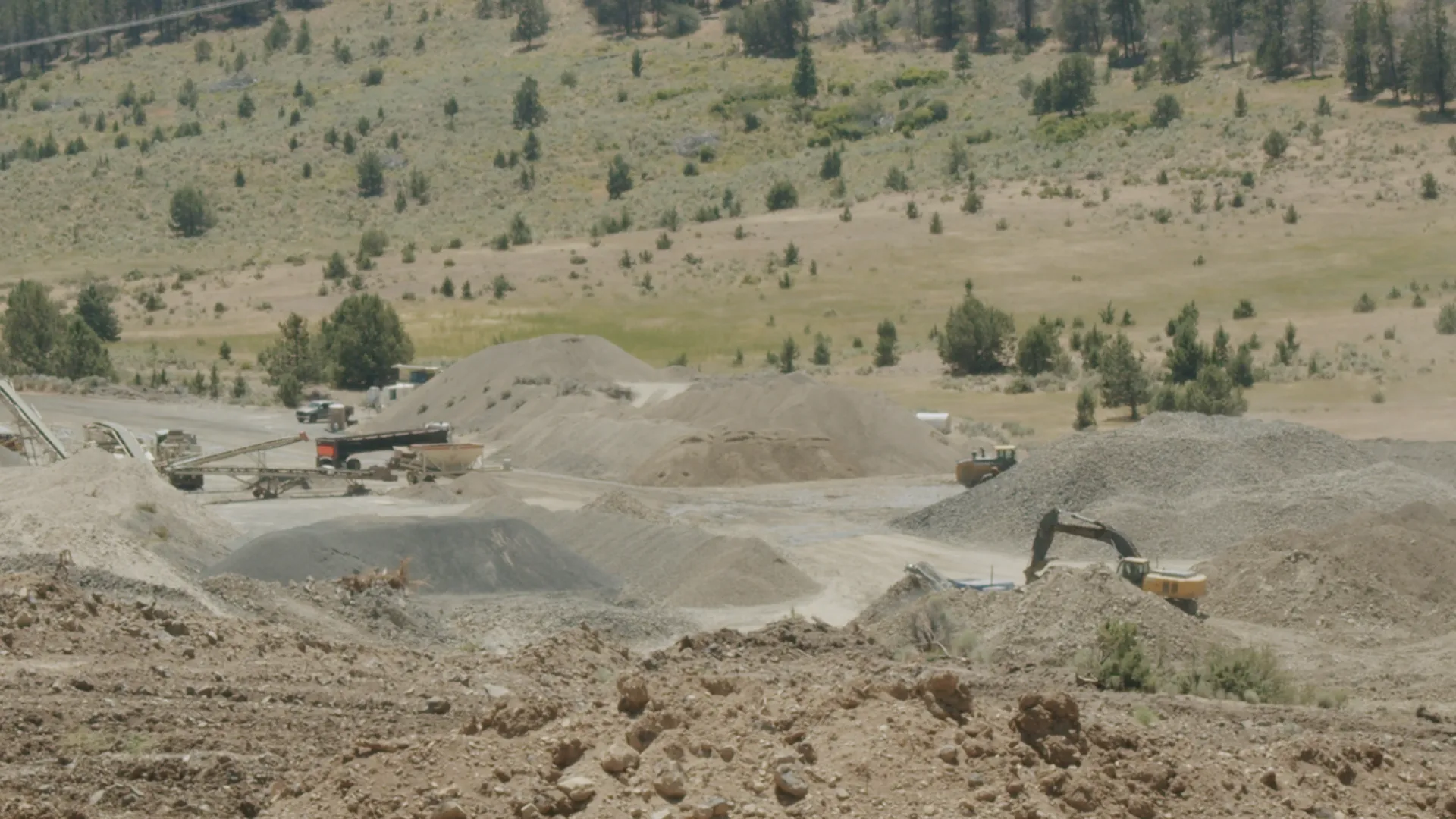
Here will live our Spatial Explorer! Anything with spatial information in our Wiki will be explorable on this map. An intuitive interface makes it simple to find elements and an information panel gives you the basics at a glance. Below is limited data about mines, placed in their spatial context relative to the Ecoregions where they reside. Future base layers will include biophysical setting, political boundaries, and many more, over which you will be able to overlay basically any entity for which we have point data! There is much work to be done to make this a reality, so when you’re finished perusing the Spatial Explorer, click this button to help the project!