Nat. Language Search
Make Natural Language Searches of Our Database
Make Natural Language Searches of Our Database
When you ask a question in the plain language search box, you will receive an answer in the form of a short article, synthesized from open source information through our knowledge graph. You can ask a question about any of our three categories, alone or in combination: ecosystems, resource extraction projects (mines for now) or communities. For example, you might ask: “What plants will be affected by the Stibnite Gold Project in Idaho?” You will get a response similar to this:

Image source: See page for author, Public domain, via Wikimedia Commons
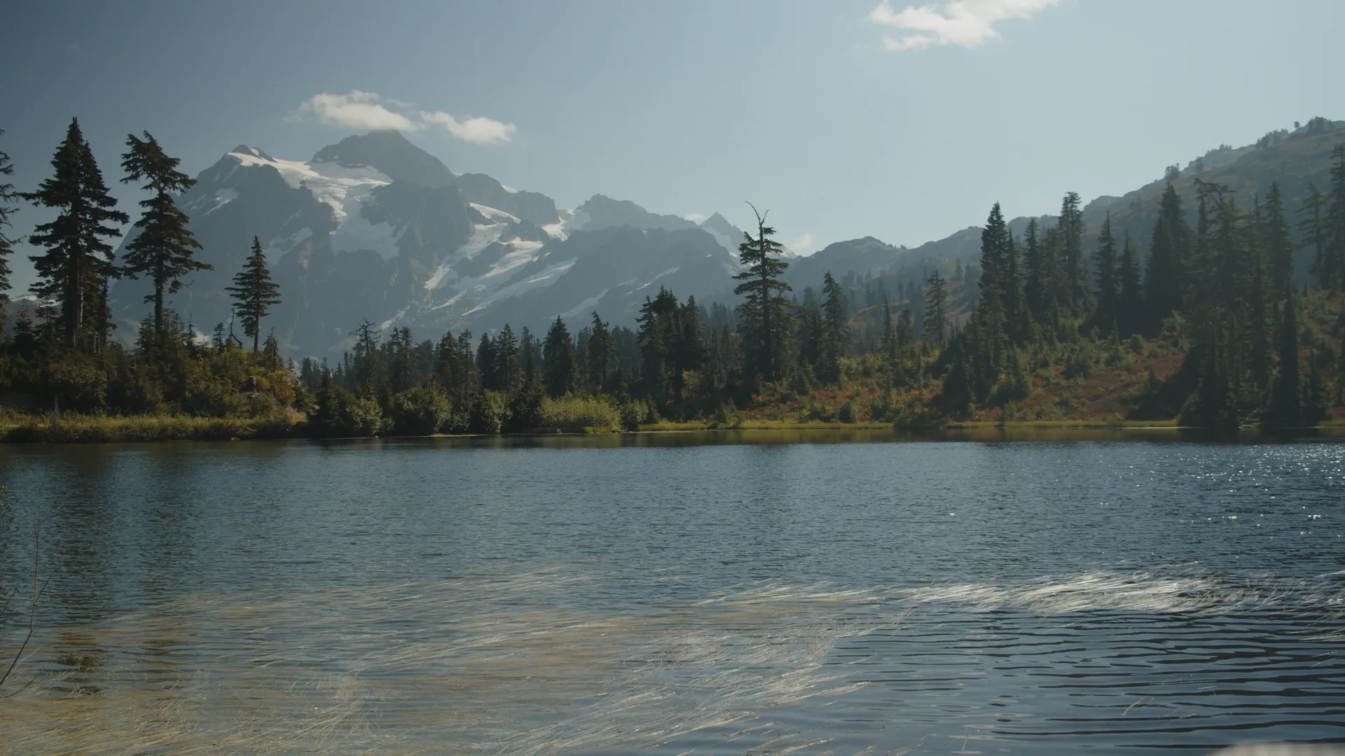
Location: Valley County, Idaho
Mining District: Mining District
Mineral(s) Mined: Stibnite
Product(s): Gold, Antimony
Status: Proposed
Mine Operator: Perpetua Resources
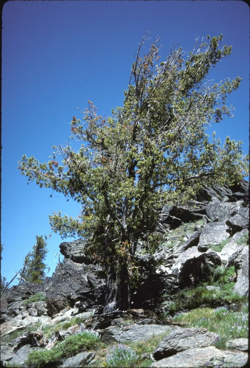
Image source: plantnet.org
Binomial Name: Pinus albicaulis
Conservation Status: Endangered (ICUN 3.1)/ Vulnerable (Natureserve)
Scientific classification:

Image source: Msulis at English Wikipedia
Binomial Name: Nucifraga columbiana
Conservation Status: Least Concern
Scientific classification:
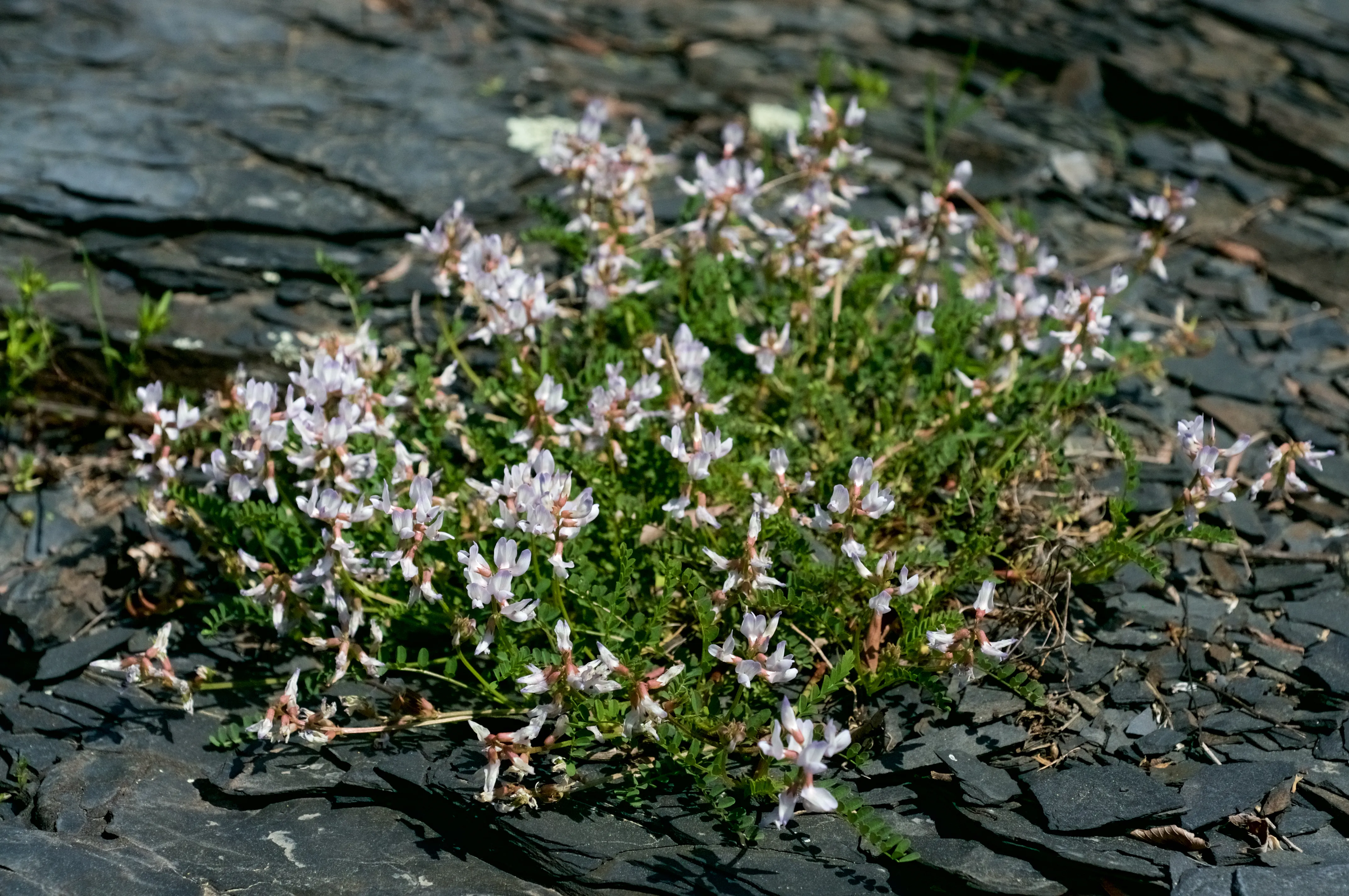
Image source: Eric Hunt, CC BY-SA 4.0 , via Wikimedia Commons
Binomial Name: Astragalus inflexus
Conservation Status: Apparently Secure
Scientific classification:
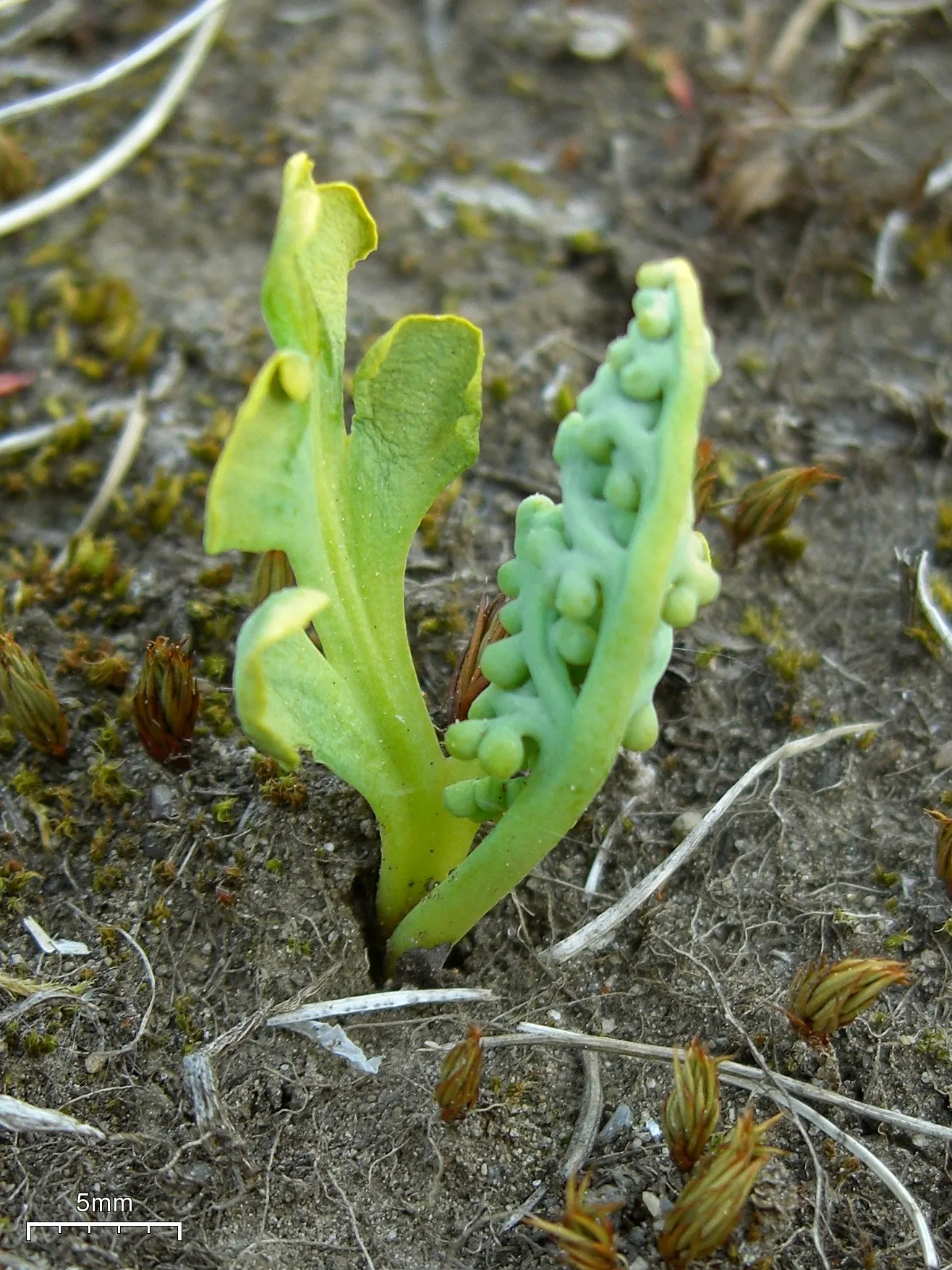
Image source: Jason Hollinger, CC BY 2.0 , via Wikimedia Commons
Conservation Status: Secure
Scientific classification:

Image source: Edna Rey-Vizgirdas, Public domain, via Wikimedia Commons
Binomial Name: Lewisia sacajaweana
Conservation Status: At Risk / Imperiled
Scientific classification:

Image source: Andr Hospr, CC BY 4.0 , via Wikimedia Commons
Binomial Name: Helodium blandowii
Conservation Status: Secure
Scientific classification:

Image source: Robert H. Mohlenbrock. USDA NRCS. 1992. Western wetland flora: Field office guide to plant species. West Region, Sacramento, CA. Courtesy of USDA NRCS Wetland Science Institute.
Binomial Name: Hierochloe odorata
Conservation Status: Secure
Scientific classification:

Image source: Bertblok, CC BY-SA 3.0 , via Wikimedia Commons
Binomial Name: Scheuchzeria palustris
Conservation Status: Secure
Scientific classification:
Overall, the 2021 Mine Management Plan (MMP)-related vegetation clearing would impact 3,564 acres, including primarily undisturbed areas for the Burntlog Route where an increase in the potential for non-native plant establishment and spread would be more deleterious. The Johnson Creek Route Alternative would impact 3,399 acres through vegetation clearing; however, much of the disturbance area would be along or near previously disturbed areas (i.e., existing roads) where non-native plants are already established or could become established as a result of previously authorized activities.
The 2021 MMP would remove an estimated 259.5 acres of occupied habitat and 78 acres of assumed occupied habitat (16.3% of occupied habitat in the analysis area) and 287.4 acres of modeled suitable habitat (6.7% of modeled suitable habitat in the analysis area), totaling 1,278 trees (27 would be individuals observed with cones during 2019 field surveys). Impacts to the whitebark pine would be less under the Johnson Creek Route Alternative as an estimated 108.5 acres of occupied whitebark pine habitat and 78 acres of assumed occupied habitat (9.0% of occupied habitat in the analysis area) but no additional acres of modeled suitable habitat, totaling an estimated 777 trees (27 would be individuals observed with cones during 2019 field surveys) would be removed. The mine site and access roads would remove the majority of whitebark pine individuals and habitat, while impacts as a result of the utilities and off-site facilities would be minimal. Indirect impacts to occupied whitebark pine habitat may occur during implementation of the 2021 MMP and Johnson Creek Route Alternative, primarily as a result of dust, impacts to seed dispersers (e.g., ), and increased erosion and sedimentation where disturbance occurs. These indirect impacts would occur near all Project components but especially along the access roads and utilities as this species has been documented over a large area in the vegetation analysis area and surveyed occupied habitat totals approximately 2,069 acres.
The Project would result primarily in localized, long-term and permanent, moderate impacts to the whitebark pine. The 2021 MMP would impact known occurrences of , , , , , and , while the Johnson Creek Route Alternative would impact known occurrences of bent-flowered milkvetch, least moonwort, and Sacajawea’s bitterroot. Additionally, the 2021 MMP would impact a greater amount of modeled potential habitat for sensitive and forest watch plant species than the Johnson Creek Route Alternative. Impacts as a result of increased potential for non-native plant establishment and spread may be regional in nature due to the relatively large amount of habitat disturbance associated with the 2021 MMP and Johnson Creek Route Alternative 1 .
We are committed to robust and precise citation of information to ensure the highest quality answers from the highest quality data. This particular quote is straight from the Stibnite Gold Project Environmental Impact Statement, but a more complex answer with more sources will have many more entries in this bibliography section.
Our system is more reliable than standard AI because 1) It is searching data from our database, organized according to and backed by our schema , upon which it is extensively trained, and 2) Perhaps most importantly, it is completely transparent because it provides the sources of the information it has presented, so you can check its accuracy.
If you are using our free service, it will be important to edit the document by checking the sources our system lists. Even with a check of the sources, using our system will save you a lot of time compared to starting your research from scratch. If you commission us to search, we will ensure the document is consistent with the sources and that the sources are reliable and qualified. This will save you even more time.
This is just one of the tools in the works! You can help us with development and keep up with our progress by subscribing to our Patreon Account for only $5 or $10 per month!